- Grade
- Tough
- Distance
- 13 km one way
- Walking time
- 6 hours
- Altitude
- 2538 m
- Best months
- Oct – Mar
- Start point
- Avalanche Reception Point
- District
- Nilgiris
- Nearest station
- Ooty, ~31 km
- Nearest airport
- Coimbatore, ~108 km
About this trail
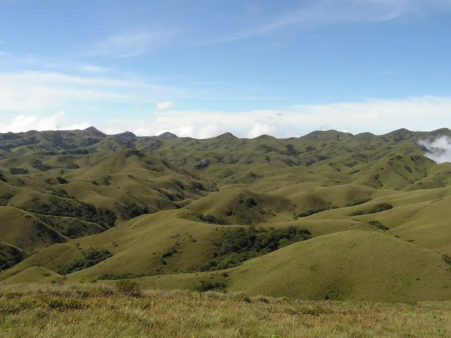
From the Avalanche reception point, this route climbs out of the valley and into Cauliflower Shola, a pocket of thick evergreen forest of the kind found only on the upper Nilgiri slopes. Past the trees, the path comes out on rolling grassland and works its way up to Devarbetta at roughly 2,500 metres. Expect mist, a cold wind and, on clear mornings, views across several valleys.
At 13 km one way and around six hours of walking, this trek is meant for people who already hike regularly and are steady on rough ground. October to March gives the driest paths. Keep a spare day in Ooty for Avalanche Lake, Emerald Lake or Doddabetta.
Highlights
- Walk under the dense canopy of Cauliflower Shola
- Grass ridges above 2,400 metres
- Cool, misty mountain weather
- One-way route, so no retracing steps
- Easy add-ons: Avalanche Lake, Emerald Lake, Doddabetta
How the day goes
- MorningReport at the Avalanche reception point for registration and the safety talk.
- Shola sectionEnter Cauliflower Shola and climb steadily under the trees.
- GrasslandsCome out onto open slopes; stop for water and a snack.
- DevarbettaReach the high ridge and rest while the guide checks the weather.
- AfternoonWalk down to the exit point; plan your ride back to Ooty in advance.
Getting there and staying over
- By train: Ooty, ~31 km
- By air: Coimbatore, ~108 km
- Stay: Ooty town, or resorts and homestays around Emerald and Avalanche.
What to carry
- Photo ID
- Warm fleece and windcheater
- Rain jacket or poncho
- Trekking shoes with ankle support
- 2 litres of water and energy snacks
- Cap and sunscreen
- Personal medicines
Good to know
These are guided trails run with the Tamil Nadu Forest Department, and each has a daily limit on walkers. Book a few days ahead, carry the same photo ID you booked with, and expect a trail to close at short notice after heavy rain or when elephants are active nearby. We book the permit, arrange the car to and from the start point and, if you want, a hotel nearby for the night before.
More trails in Nilgiris
 Moderate11 km · 6 hrsNilgiris · AvalancheAvalanche – Kolaribetta (via Cauliflower Shola)
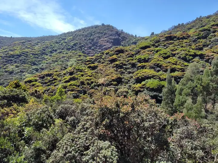
An 11 km out-and-back from Avalanche through Cauliflower Shola and wattle groves to Kolaribetta, looking over Mukurthi and Upper Bhavani.
Best: Oct – MarView trail →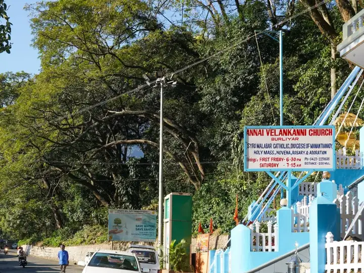 Easy4 km · 2 hrsNilgiris · BaraliyarBaraliyar Forest Trail
A short, easy stream-side walk off the Mettupalayam–Coonoor ghat road, good for families and anyone trying a forest trail for the first time.
Best: Oct – MayView trail →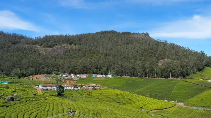 Easy3 km · 2 hrsNilgiris · OotyCairn Hill Forest Walk
A calm 3 km forest walk just outside Ooty, under tall cypress and mossy shola trees, ending at a watchtower with views over the woods.
Best: Oct – JunView trail →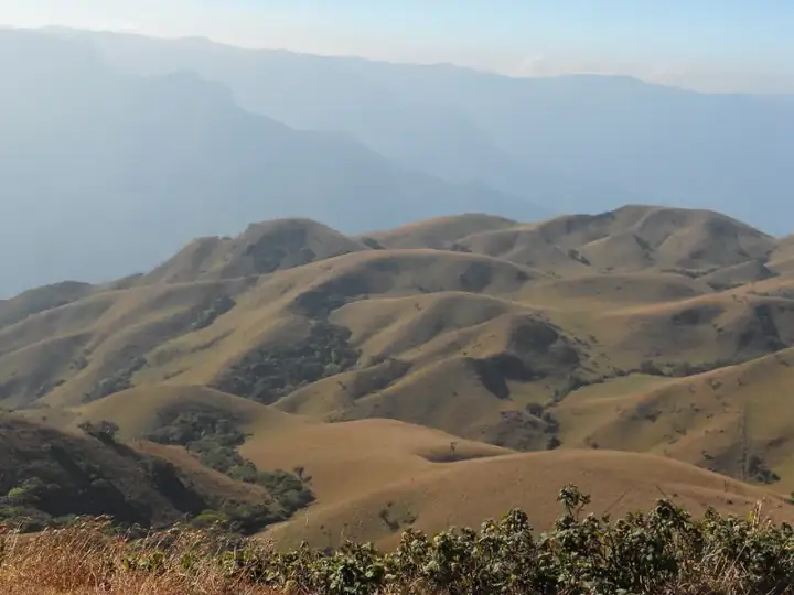 Easy8 km · 4 hrsNilgiris · Mukurthi National ParkGenepool Trail, Mukurthi
An 8 km loop through the grasslands and shola of Mukurthi National Park, dipping into the Genepool valley before returning to base.
Best: Oct – MayView trail →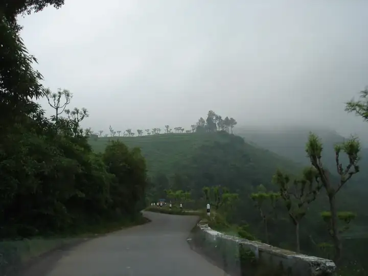 Moderate6 km · 3 hrsNilgiris · KotagiriKarikaiyur – Porivarai Rock Paintings
A short forest walk from Karikaiyur to Porivarai, one of South India's largest rock-art sites, with hundreds of ancient paintings.
Best: Sep – MarView trail →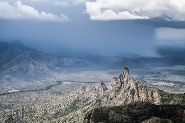 Moderate8 km · 4 hrsNilgiris · KotagiriKarikaiyur – Rangasamy Peak
A half-day climb from Karikaiyur through shola and grassland to the Rangasamy Peak viewpoint, about 20 km from Kotagiri.
Best: Oct – MarView trail →Book this trek
Send us your date and group size. We will confirm the slot with the forest team and share the reporting time, car and total cost.