- Grade
- Easy
- Distance
- 4 km one way
- Walking time
- 2 hours
- Altitude
- 923 m
- Best months
- Oct – May
- Start point
- Baraliyar Forest Check Post
- District
- Nilgiris
- Nearest station
- Mettupalayam, ~9 km
- Nearest airport
- Coimbatore, ~45 km
About this trail
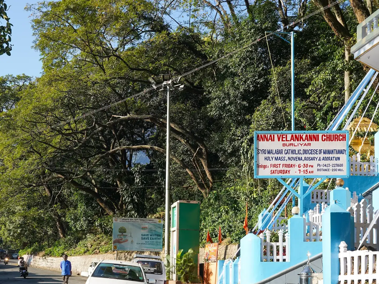
Baraliyar sits on the lower slopes of the Nilgiris, just off the ghat road that climbs from Mettupalayam to Coonoor. The trail stays close to a stream and passes through dry deciduous woodland mixed with farm edges and rural hill views. It is only 4 km, one way, and takes around two hours, so there is plenty of time to stop for birds, butterflies and the sounds of the forest.
No real climbing is involved, which makes this a comfortable pick for children, students and older walkers. The guide leads the group from the check post along the approved route and a snack break is built in. It pairs well with a drive up to Coonoor on the same day.
Highlights
- Gentle stream-side path
- Good spot for birds and butterflies
- Two hours from start to finish
- Right on the Coonoor ghat road
- Well suited to children and beginners
How the day goes
- ReportingArrive at the Baraliyar check post, show your ID and complete the entry forms.
- BriefingThe guide explains the route and forest rules before you set off.
- Stream walkFollow the water through shaded woodland with short photo and birding stops.
- Snack breakRest for a few minutes over the light refreshments provided.
- FinishReach the end point of the trail and return as arranged.
Getting there and staying over
- By train: Mettupalayam, ~9 km
- By air: Coimbatore, ~45 km
- Stay: Not included; hotels in Mettupalayam, Coonoor or Coimbatore.
What to carry
- Photo ID
- 1–2 litres of water
- Comfortable walking shoes
- Cap
- Insect repellent
- Light snacks
Good to know
These are guided trails run with the Tamil Nadu Forest Department, and each has a daily limit on walkers. Book a few days ahead, carry the same photo ID you booked with, and expect a trail to close at short notice after heavy rain or when elephants are active nearby. We book the permit, arrange the car to and from the start point and, if you want, a hotel nearby for the night before.
More trails in Nilgiris
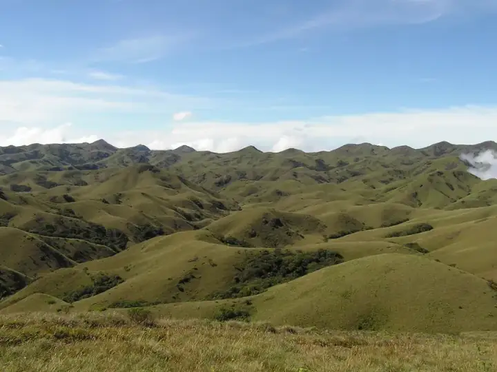 Tough13 km · 6 hrsNilgiris · AvalancheAvalanche – Devarbetta (via Cauliflower Shola)
A hard one-way day in the upper Nilgiris, crossing Cauliflower Shola and open grass ridges on the way to the high ground at Devarbetta.
Best: Oct – MarView trail →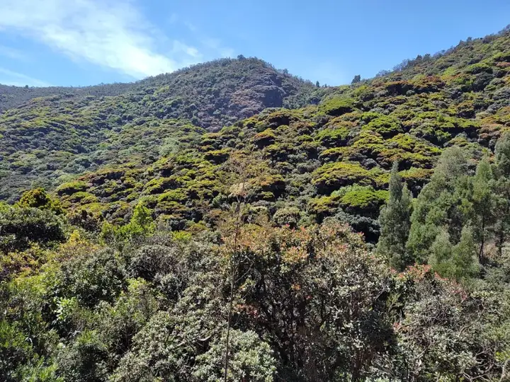 Moderate11 km · 6 hrsNilgiris · AvalancheAvalanche – Kolaribetta (via Cauliflower Shola)
An 11 km out-and-back from Avalanche through Cauliflower Shola and wattle groves to Kolaribetta, looking over Mukurthi and Upper Bhavani.
Best: Oct – MarView trail →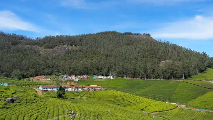 Easy3 km · 2 hrsNilgiris · OotyCairn Hill Forest Walk
A calm 3 km forest walk just outside Ooty, under tall cypress and mossy shola trees, ending at a watchtower with views over the woods.
Best: Oct – JunView trail →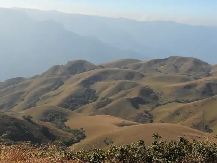 Easy8 km · 4 hrsNilgiris · Mukurthi National ParkGenepool Trail, Mukurthi
An 8 km loop through the grasslands and shola of Mukurthi National Park, dipping into the Genepool valley before returning to base.
Best: Oct – MayView trail →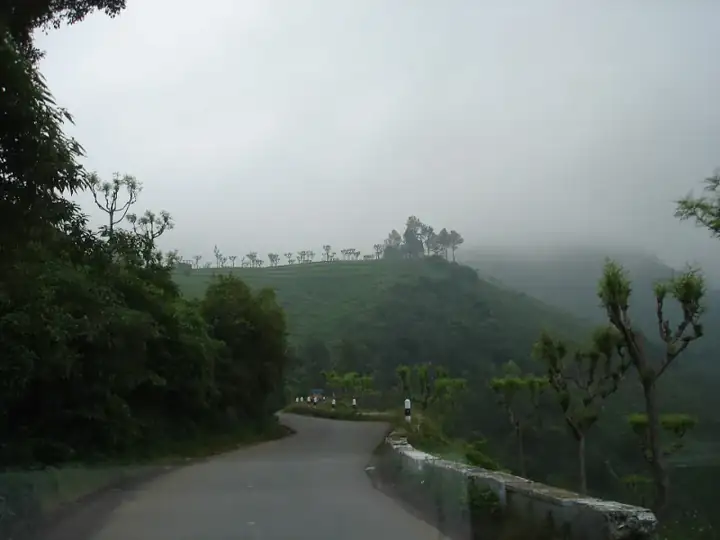 Moderate6 km · 3 hrsNilgiris · KotagiriKarikaiyur – Porivarai Rock Paintings
A short forest walk from Karikaiyur to Porivarai, one of South India's largest rock-art sites, with hundreds of ancient paintings.
Best: Sep – MarView trail →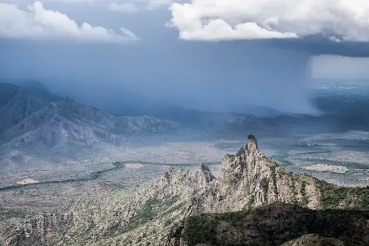 Moderate8 km · 4 hrsNilgiris · KotagiriKarikaiyur – Rangasamy Peak
A half-day climb from Karikaiyur through shola and grassland to the Rangasamy Peak viewpoint, about 20 km from Kotagiri.
Best: Oct – MarView trail →Book this trek
Send us your date and group size. We will confirm the slot with the forest team and share the reporting time, car and total cost.